The Guernsey Island Development Plan
Guernsey Island Development Plan | Guidance for Property Owners
A practical overview of Guernsey’s Island Development Plan, how it has evolved, what current reviews mean, and how SOUP Architects can help you progress a compliant scheme.
Guernsey’s Island Development Plan (IDP) is the island’s principal planning framework. It sets the strategy for where growth should be directed, the types of development that are encouraged, and the policy tests that planning applications must satisfy. For property owners, it is the baseline for assessing what is realistic, what evidence is required, and how to approach a proposal in a way that is both deliverable and policy-aligned.
A brief history, and why it matters
The modern IDP was published in 2016 and is intended to operate on a ten-year cycle, after which it is extended or replaced, with amendments possible during its lifetime. This plan-led approach is important because it provides a consistent decision-making structure. It also means that success is rarely about a single policy line. It is about demonstrating that a scheme advances the plan’s overall objectives, including place quality, amenity, environmental considerations, and appropriate location.
The current focused review and amendment process
Guernsey is currently progressing a focused review of IDP policies, alongside the formal mechanisms for consultation and independent examination. Draft amendments were published in June 2024, with revised proposals published on 4 February 2025 and considered through the Planning Inquiry process. In parallel, there has been work on how plan amendments are processed, with proposals aimed at making updates to development plans more proportionate and responsive during a plan’s lifespan.
For property owners and developers, the practical takeaway is that you need to design for today’s adopted policy position, while also being alert to the direction of travel that is emerging through the review.
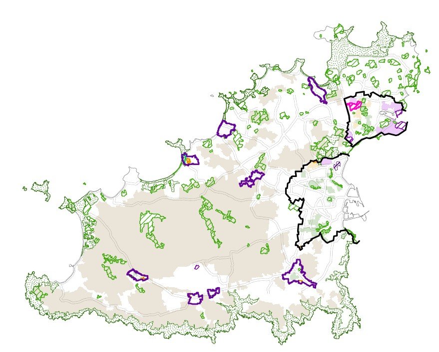
Centres and Local Centres, and why location shapes outcomes
Within the IDP, “centres” matter because many policies are explicitly location-based. The IDP identifies two Main Centres:
St Peter Port
The Bridge
It also identifies several Local Centres, which can be important for the acceptability of certain uses and the principle of intensification:
St Martin’s
Forest
Forest West
St Pierre du Bois
L’Aumone
Cobo
L’Islet
As part of the focused review, Government has proposed a new Local Centre at Vazon, with associated mapping and policy references to incorporate it into the plan. The current review work also includes changes connected to the L’Aumone Local Centre, including proposals relating to boundary and redevelopment considerations.
The latest IDP review information can be viewed here
What this means for property owners
If you own property in St Peter Port, The Bridge, or a Local Centre, there is often a stronger planning rationale for making better use of existing land and buildings. This can support a range of outcomes, including refurbishment and upgrade, conversion of underused space, subdivision, sensitive infill, extensions, and appropriately scaled mixed-use. The constraints can be tighter, however, including neighbour amenity, daylight and overlooking, access and servicing, parking, and, in some cases, heritage considerations. In practice, policy compliance is usually secured through clear design reasoning and evidence-led submissions.
How SOUP can help
SOUP helps property owners and developers turn policy into a clear route to an achievable outcome. We typically start with a short feasibility and policy appraisal to identify realistic capacity, key constraints, and the most credible planning strategy. From there, we develop concept options that test massing, layout, amenity and deliverability, and we can support pre-application engagement and a robust submission narrative.
Most importantly, we align the planning approach with your end goal, whether that is unlocking value from an existing building, improving viability, delivering additional homes, or securing consent for a well-judged scheme in a sensitive context.